
Meteorologist Seth Binau of the National Weather Service office on Wilmington said the region will be spared a direct hit from the weakening Hurricane Laura, which roared ashore at 2 a.m. EDT Thursday as a Category 4 storm and left a path of destruction as it moved inland over Louisiana and the extreme eastern part of Texas.
He told The Times-Gazette that forecasters are predicting Hurricane Laura would come northward through the boot-heel of Missouri before drifting east-northeast into Kentucky.
“It will weaken considerably as it comes across western and central Kentucky,” Binau said. “The track of what will remain of Laura will pass over north-central Kentucky and into West Virginia Friday night and into Saturday morning.”
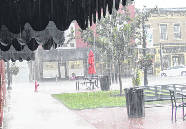
Current weather service predictions are calling for between one-half to one inch of rainfall in the Highland County area by Saturday morning, but Binau cautioned that thunderstorms are unpredictable and could unexpectedly dump two to three inches of rain in a short period of time.
He said that while the area won’t experience the direct impacts of the Laura’s associated heavy rainfall, due to a cold front set to move through the area at the same time, some of Laura’s moisture will get wrapped into the approaching cold front.
“We’re expecting on and off showers and thunderstorms through the day Friday and especially into Friday night,” Binau said. “Any rainfall we get should wrap up sometime Saturday morning and then we start to dry out. I think we’ll find that the heaviest rainfall will be to our south and to our east as well.”
He said that while the region may see an uptick in winds Friday and Saturday, it wouldn’t be anything like what was experienced when the remnants of Hurricane Ike brought sunny skies, warm temperatures and 75 mph winds to the region 12 years ago.
“That was one of the most unique events in Ohio’s weather history,” he said. “Ike was a completely different set-up in that it went up through Indiana and into north-central Ohio, in fact, it was actually the sunshine that caused those high winds to mix down to the surface.”
After what is left of Laura breaks up over West Virginia, Binau said the weather pattern would turn fall-like with morning temperatures in the mid-50s Sunday and Monday and daytime highs in the mid to upper 70s.
“It’ll be nice and refreshing, definitely more like early September,” he said. “Then when we get into the middle part of next week, the warmth and humidity will come back with daytime highs in the mid-80s and dew points around 70, and with that, we can look for more rain.”
Reach Tim Colliver at 937-402-2571.

