

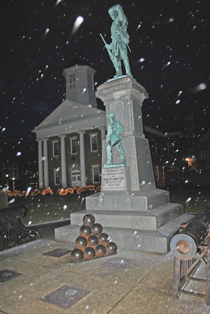
Rain, then sleet, then snow were all in the forecast for Highland County Friday night and into Saturday morning, as schools dismissed early and many workers headed home ahead of what was forecast to be a snowfall ranging anywhere from 2 to 5 inches.
Drivers were advised to use caution on the roadways, and residents were warned to be careful with temporary heating sources and make sure pets were properly protected from the cold.
AccuWeather said there would be areas of blowing snow late Friday between 10 p.m. and 2 a.m., with a low around 14 degrees, and a wind chill of as low as zero.
The forecaster said the weather would be “blustery, with a north wind 20 to 23 mph, with gusts as high as 36 mph.”
Little or no ice accumulation was expected.
After the snowfall, which was predicted to end Saturday morning, the rest of Saturday’s outlook was mostly cloudy, but with a high of only 18. Saturday night was predicted to be partly cloudy with a low of around 5.
Sunday’s high should be around 20, with light winds.
Snow was likely again Monday, Martin Luth King Jr. Day, with a high near 31.
“Freezing rain and sleet has developed in a line from extreme western New York and Pennsylvania to parts of eastern Ohio southward to parts of Kentucky and Tennessee,” according to the Weather Channel on Friday. “Snow persists from northern Indiana southward to western Tennessee and Kentucky and into northern Alabama and northern Mississippi.”
The start of the winter storm left an icy glaze across much of the Southwest and Midwest, snarling traffic and shuttering schools ahead of a cold snap expected to last into next week.
The snow and ice wasn’t terribly deep, but their arrival ahead of the morning rush hour slowed commuters. Traffic cameras showed motorists following snow plows on their icy patrols.
“When you put traffic on a road that has winter precipitation on it, you’re going to have some problems,” said Danny Straessle, a spokesman for the Arkansas Department of Transportation. Except for spots near Lonoke and Osceola where ice caused vehicles to slide off the roads, highways remained open.
“We’re very fortunate,” he said. “It was a good event for crews that hadn’t seen anything for a while.”
Friday’s snowstorm moved east during the afternoon and threatened the Ohio Valley and the northeastern U.S. with heavy snow and ice.
Friday’s winter weather followed a cold front that brought steady rains.

