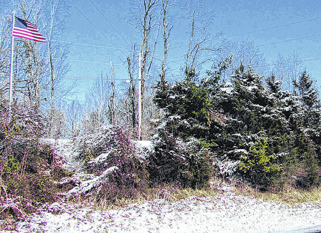
Highland County looks to be in for some cold through this weekend and beyond with overnight temperatures possibly dipping to around zero by overnight Sunday morning, depending on who is doing the forecasting.
Logan Clark, a meteorologist at the National Weather Service (NWS) in Wilmington, said, “We do see potential for highs being, I believe they were in the like mid-teens, we’re looking at for like Sunday and then maybe even like lower teens to near 10 degrees by Monday and then, of course, lows being near or just below zero during that period as well and definitely wind chills being below zero, especially at night there.”
Clark also said that alongside these low temperatures, snow showers are possible Saturday night, but that it’s also hard to pinpoint this far out from the weather system hitting. He said that people in the area would probably just have the arctic high pressure with bitterly cold weather from the end of the weekend into the beginning of next week.
He said there are a couple of things people should do when these temperatures get so low:
· If outdoors, put on extra layers and cover exposed skin.
· Stay well-hydrated. He said people “have a sort of tendency to say, “Drinking alcohol will help you warm up.” But, it’s actually more important to make sure that you keep your body fully-hydrated, especially if you are gonna be outdoors for any sort of period.”
· If traveling, make sure you have a winter survival kit with things like jumper cables, flashlights, extra food and water and blankets in case your car breaks down.
Clark said that since Oct. 1, 2020, the Highland County area has reported an accumulation of about 12 inches of snow. He said last weekend alone brought four to five inches of snow to the area.
The current weather system, which Clark said originated across the west-central plains, brought warmer air with it as well, which brought challenges in predicting whether it would bring rain or snow. He also highlighted how storms can sometimes differ in how much snow accumulates. The NWS said one inch of liquid equivalent of precipitation would equal about 10 inches of snow.
“But when that system moved in we were looking at more of like a maybe seven-to-one or eight-to-one, so the snow-liquid ratios were a little bit lower so that actually prevented some like really significant snowfall in that exact location and then over, like Monday, we were actually looking at, because of the drier air that was in place, the snow to liquid ratios actually went way up. I think they were closer to like 15 to one,” Clark said.
In terms of what the rest of the winter may hold, Clark said the Climate Prediction Center (CPC) is where people may get a general idea of the overall pattern for predicting temperature and precipitation for multiple week periods. Currently, he said the CPC is giving a trend towards slightly colder temperatures with wetter than average conditions for February.


