
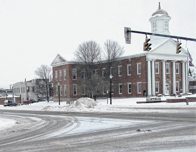
Like the winter storm that dumped mainly sleet Monday into Tuesday on Highland County, the National Weather Service is forecasting another round of what it is calling “impactful” winter weather for Wednesday afternoon.
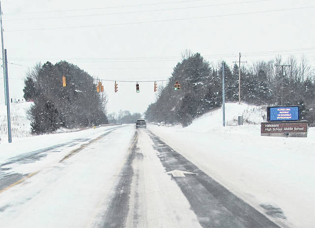
Meteorologists at the National Weather Service are predicting another 4 to 6 inches of snow for Hillsboro and the vicinity starting Wednesday.
While the winter storm that hit Highland County Monday morning performed much as predicted, the second wave that moved through Monday afternoon and evening delivered mostly sleet due to what is called a “temperature inversion.”
NWS Meteorologist Logan Clark told The Times-Gazette that unexpected higher amounts of warm air caused the higher snow totals to migrate further north, leaving southwest Ohio with mostly sleet.
“We had a Gulf low that tracked up, and with the warm air associated with that low pressure system, we got more warm air than we expected, which is why we had sleet instead of a lot of snow,” Clark said.
He said that sounding balloons launched Monday evening from the NWS location in Wilmington showed a temperature of 37 degrees at 5,000 feet in the air, which allowed sleet instead of snow to fall on counties southeast of the I-71 corridor.
“Because of that, we saw some reduced snow totals in those locations with a little more sleet and ice accumulations,” Clark said. “Areas northwest of I-71 reported 8, 9 and even 10 inches of snow in some places. The warm air that moved in was the difference between significant snow fall versus several hours of sleet that occurred.”
A third round of winter weather will move in Wednesday afternoon that Clark said would bring mainly snow, and unlike Monday’s storm that dumped nearly a foot of snow in areas north of Dayton, the heaviest snowfall of the Wednesday storm is predicted more to the south of Highland County.
“We’re looking at another low pressure system that’ll be tracking in from the Gulf again,” he said. “And this one looks to have more of a southerly track, and we’re looking at favorable conditions for more snowfall this time around.”
He said forecasters were still watching the possibility of sleet and freezing rain mixing in with the snow, with the highest accumulations predicted for Northern Kentucky and Southeastern Ohio.
“We could see 4 to 6 inches of snow, with locally higher amounts possible, and decreasing for areas further northwest,” Clark said. “Wilmington and Clinton County is in the 3- to 5-inch range, and then once you go southeast to Highland County and into Hillsboro and southward, we’re going to see those higher totals, probably in the 4- to 6-inch range.”
He said that final snow fall totals depend on exactly where Wednesday’s low pressure system was tracking, since Highland County was in the northwest quadrant of the weather system.
According to Highland County Sheriff’s Deputy Scott Miller, the county remained on a Level 2 emergency Tuesday, meaning that a snow advisory has been declared by sheriff Donnie Barrera, advising motorists that all or certain roadways in the county are hazardous with icy spots and blowing and drifting snow causing low visibility.
A Level 2 advisory urges that only persons who deem it necessary to travel should be on the roadways, with Barrera urging those who must travel to use extreme caution, and that employees should contact their employer to determine if they should report to work.
All things considered, Miller said that Highland County motorists were driving carefully and cautiously during the snow emergency.
Following the passage of Wednesday’s expected winter storm, Clark said that forecasters were predicting a somewhat warmer weekend with flurries ending Friday morning, followed by partly cloudy skies on Saturday and a high of 30 and rain expected to move in Sunday evening after a high in the low 40s.
Reach Tim Colliver at 937-402-2571.


