
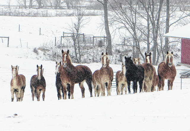
In anticipation of yet another layer of snow on Monday, Highland County was under a Winter Weather Advisory until 2 a.m. Tuesday as a low-pressure system worked its way through the area, and while forecasters predicted an arctic blast would affect the area for the next few days, low temperatures are expected to give way to warmer weather over the weekend.
Jeff Sites, a meteorologist with the National Weather Service in Wilmington, said a wintry weather system over the weekend dumped more than four inches of snow on Highland County, and another inch or so was expected to fall late Monday night.
While the weekend’s snowfall was by no means a record breaker, Sites said the area may have already surpassed last year’s total snowfall.
“Last year, we only had maybe 10 inches of snow the entire winter,” Sites said late Monday afternoon. “We were pretty warm overall last winter… So far, we’ve gotten about 10 or 12 inches this year,” not including another two or so inches of snow expected to fall later in the evening.
All told, Sites said by Tuesday the area will have seen 12 to 14 inches for the season.
The precipitation was set to end at about midnight Tuesday, but Sites said frigid weather is here to stay for the next few days.
“We have to get through a period of another arctic blast here for Tuesday and Wednesday, and then we’ll start to see a moderating trend,” he said.
As of Monday evening, the National Weather Service predicted some sun on Tuesday with a frigid high of 13 degrees and windchill values of minus 7.
Wednesday may bring some flurries, and while the temperature is expected to rise to a high of 20 degrees, the wind chill may remain as low as minus 7.
Temperatures will continue to climb on Thursday as the sun comes out and highs reach 28, and Friday is expected to bring a high of 37 with sunny skies.
Saturday is forecast to be partly sunny with a high near 50, and Sunday may bring temperatures as high as 56 degrees with partly sunny skies.
As for the rest of this winter, Sites said locals can expect average temperatures and a few more snowstorms, bringing the possibility of an average winter snowfall for the area — about 30 inches for the whole season.
“It’s a good possibility,” he said. “We’ve still got the rest of January and all of February, and in the past we’ve had some of our bigger snowstorms in March, so it’s a possibility.”
Reach David Wright at 937-402-2570, or on Twitter @DavidWrighter.


