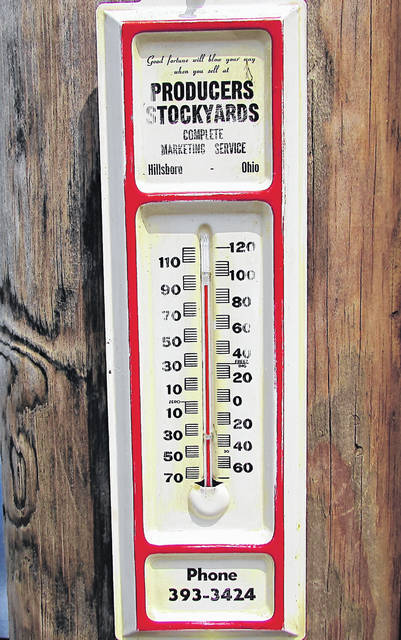
The National Weather Service has issued an alert for a “dangerous and widespread heat wave,” for the weekend, affecting Highland County as well as much of the rest of the country.
According to James Gibson of the National Weather Service in Wilmington, the heat watch, which is expected to be accompanied by excessive humidity, begins Friday afternoon, and will last until around Saturday evening.
While high temperatures are expected to be in the mid-90s, Gibson said that the heat indices, which gauge “how it feels” outside, may rise to 110 degrees Fahrenheit on Saturday.
Gibson said people should be especially vigilant about caring for “pets and the elderly,” who he said will be the most vulnerable in the coming heat wave.
People without air-conditioning, he said, should drink plenty of water and to dress accordingly.
Highland County Health Commissioner Jared Warner echoed the National Weather Service’s advice on heat safety, noting that Highland County does not have any “formal heat shelters or cooling stations.”
Lt. Branden Jackman, public information officer for the Paint Creek Joint EMS/Fire District, said that prolonged exposure to excessive heat without taking adequate preventative measures can result in heat exhaustion or, in severe cases, heatstroke.
“Heat exhaustion is dangerous,” he said, “but heatstroke is deadly.”
Hydration, Jackman says, is the most important preventative measure that people can take in protecting themselves from excessive heat.
Gibson says that temperatures will decrease slightly on Sunday, as will relative humidity, making weather conditions somewhat more tolerable.
And there is more relief on the horizon, according to meteorologist Jeff Sites of the National Weather Service.
“Later on Sunday, we’re seeing a cold front trying to drop down through the Great Lakes,” he said. “That’ll bring with it a chance for showers and thunderstorms, but as it moves southward it’ll push out the sticky air and we’ll have more comfortable conditions for the first half of next week.”
The culprit of the excessive heat is a ridge of high pressure building in from the lower Mississippi River Valley, Sites said, which will allow both the heat and humidity to build in the region.
Sites said the heat index, which is the summertime equivalent to winter’s wind chill index, was developed and implemented into the weather service’s forecasting in 1978. In simple terms, he said, it is a measurement that combines air temperature and relative humidity to arrive at what the conditions feel like to a person.
“It’s a really long, ugly, nine-element equation that someone a lot smarter than me sat down and calculated out years ago,” Sites said. “But it takes the temperature and the dew point and tells you what the human body perceives the temperature to be.”
Sites said next week’s forecast calls for a chance of showers early in the day Monday with highs in the mid-80s, then moderating toward midweek with sunny skies and cooler daytime temperatures in the low-80s and nighttime lows in the low-60s.
Tim Colliver is a news reporter and Juliane Cartaino is a stringer for The Times-Gazette.


