
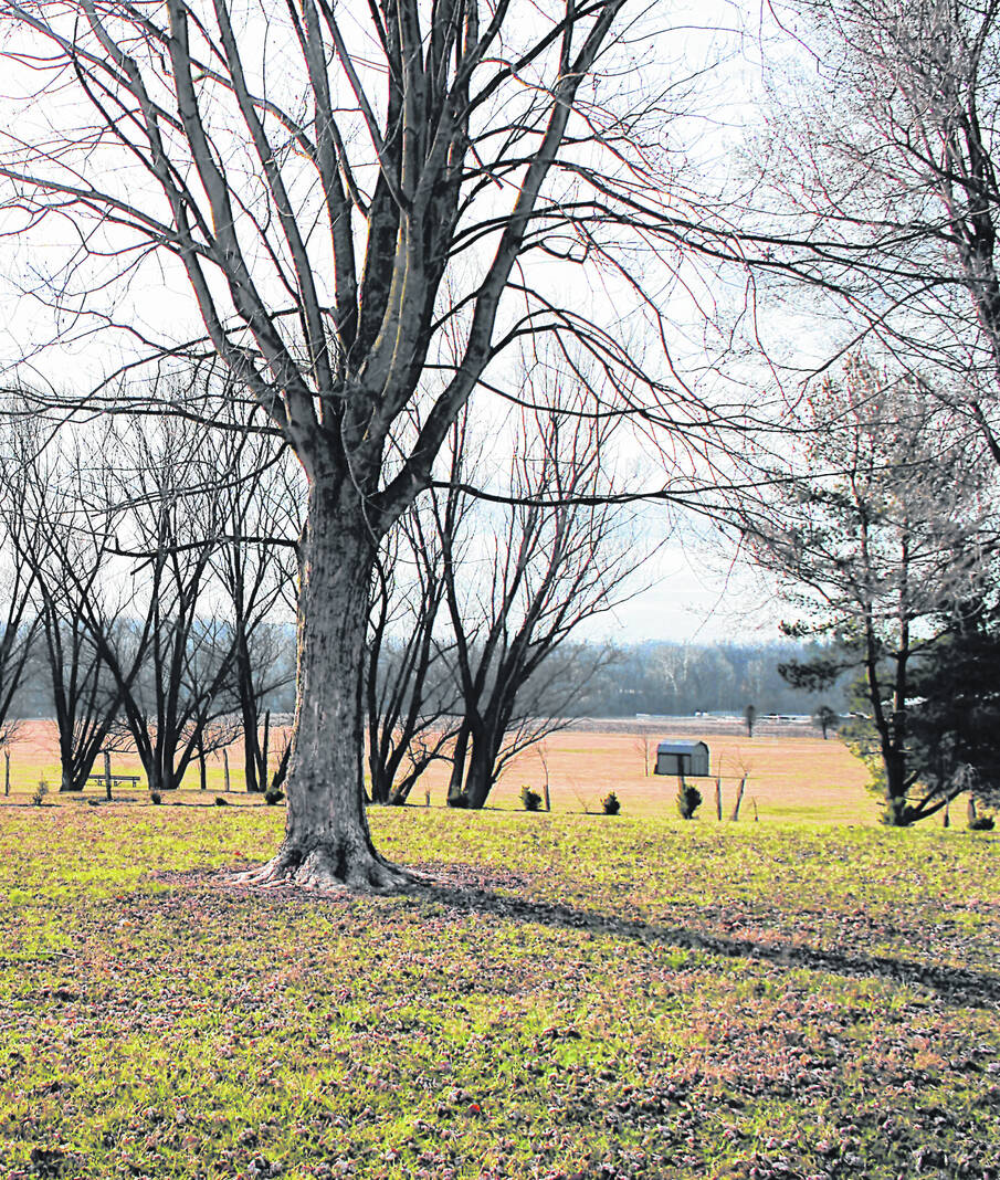
This scene at Liberty Park in Hillsboro shows mild springlike conditions Tuesday morning. The scene is expected to change Tuesday night into Wednesday morning with much colder and windy conditions for a couple days before a warming trend arrives for the weekend.
Jacob Clary | The Times-Gazette
A Wednesday early morning storm coming to the area will bring lower temperatures and possibly even hail, according to Scott Hickman, a meteorologist at the National Weather Service in Wilmington.
“We have a pretty vigorous low-pressure system and cold front that will be pushing through, actually during the morning hours tomorrow, but ahead of that there’s quite a bit of moist, unstable air,” Hickman said Tuesday. “And, with the approach of that front, and some of the upper-level support coming into the region, we’re expecting the likelihood of showers and thunderstorms and right now it looks like the best chance of that will be after midnight and continuing until sunrise on Wednesday. We’re looking for damaging winds being the main threat, but you could have some isolated large hail and cannot rule out a tornado or two… The environment is supportive of some tornadoes.”
He said the most widespread possibility was for the damaging winds, but also said tornadoes couldn’t be ruled out. Hickman said that a chance of severe storms is expected, meaning winds of at least 58 miles per hour. He also said that, outside of the storms, generalized wind gusts could reach up to 40 miles per hour Tuesday night into Wednesday and then following the cold front’s departure.
Hickman said the precipitation will move out Wednesday morning and bring a “nice drop” in temperatures from Wednesday into Thursday after the cold front leaves the area.
“Matter of fact, as we get to about, let’s say, 6 o’clock (Wednesday), it’s already right around freezing in Highland County,” he said.
Concerning the storms, Hickman said to practice severe weather safety, meaning if a warning sound is heard, to move indoors into a “sturdy” building. Specifically for the tornado possibility, he said people should try and be in a basement, if possible, but if not to get to the “most interior part of your home.” He said this is because you should want as many walls between you and the outside as possible.
Prior to the coming of this storm, Ohio and surrounding areas like Chicago, Kansas City and Des Moines, Iowa, were seeing spring and summer-like temperatures in the 60s and 70s.
“We’re blowing away the records in northern Illinois into south central and southwestern Wisconsin,” said Mark Gehring, a weather service meteorologist in Sullivan, Wisconsin.
However, these areas are also expected to see the temperatures drops like Highland County, as Chicago is reported to be seeing highs of below freezing and Minnesota to see possibly an inch or two of “slushy snow.”
After Highland County highs in the 40s Thursday and Friday, the National Weather Service is forecasting a high of near 60 Saturday and near 70 Sunday.
Reach Jacob Clary at 937-402-2570.
